-40%
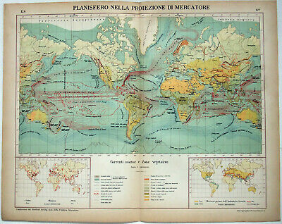
World Sea Currents - Original 1915 Charts by Kartographia Winterthur S.A. Map
$ 11.61
- Description
- Size Guide
Description
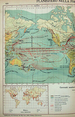
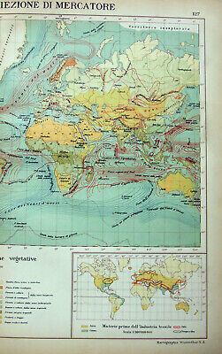
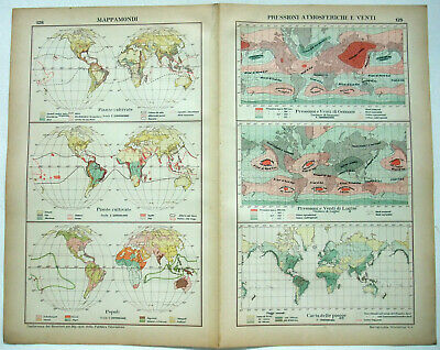
World Sea Currents - Original 1915 Chart by Kartographia Winterthur S.A. This is an original finely detailed chromo-lithograph that shows the Worlds Sea Currents, vegetative zones, mining and industrial areas. One the rear are maps of the worlds principal agricultural crops, cultivated plants, linguistic groups, atmospheric pressure and winds, plus more. Plates 126 & 127 from the 1915 edition of Atlante per le Scuole Medie Svizzere - Atlas for Swiss Middle Schools. Most text is in Italian.Outer measurements are approximately 17" by 13.37". Will look nice matted and framed.
Free Shipping to anywhere in the US.
Your order will always ship within ONE BUSINESS DAY, well packaged in a sturdy waterproof mailer and sent with a delivery confirmation.
I ship worldwide.
