-40%
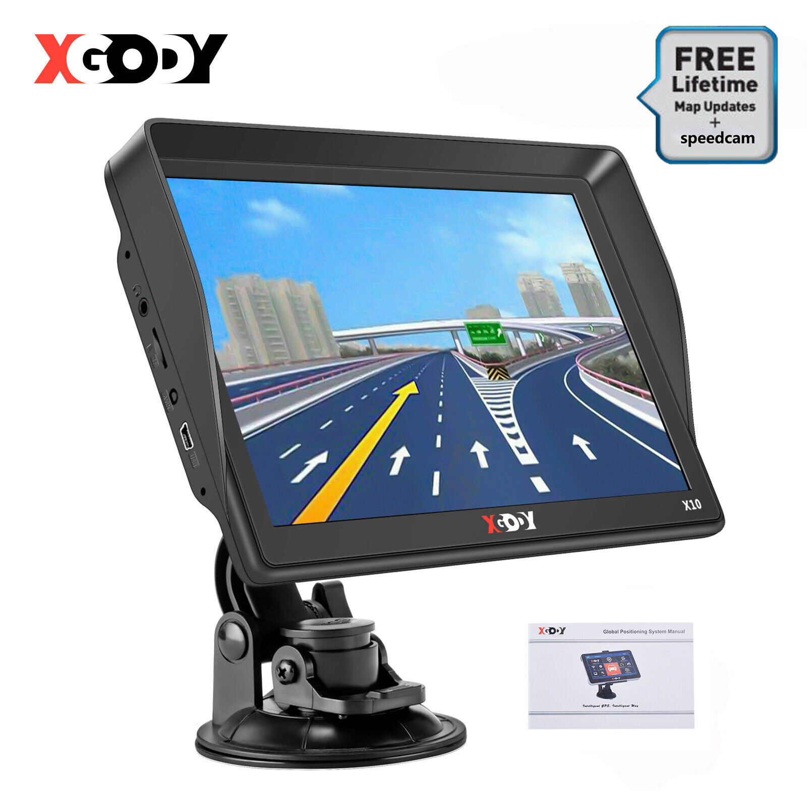
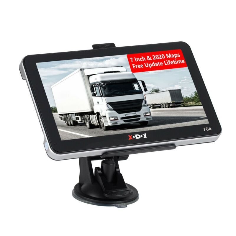
XGODY 9'' Truck & Car GPS Navigation Touchscreen Navigator Speed Limit Indicator
$ 40.06
- Description
- Size Guide
Description
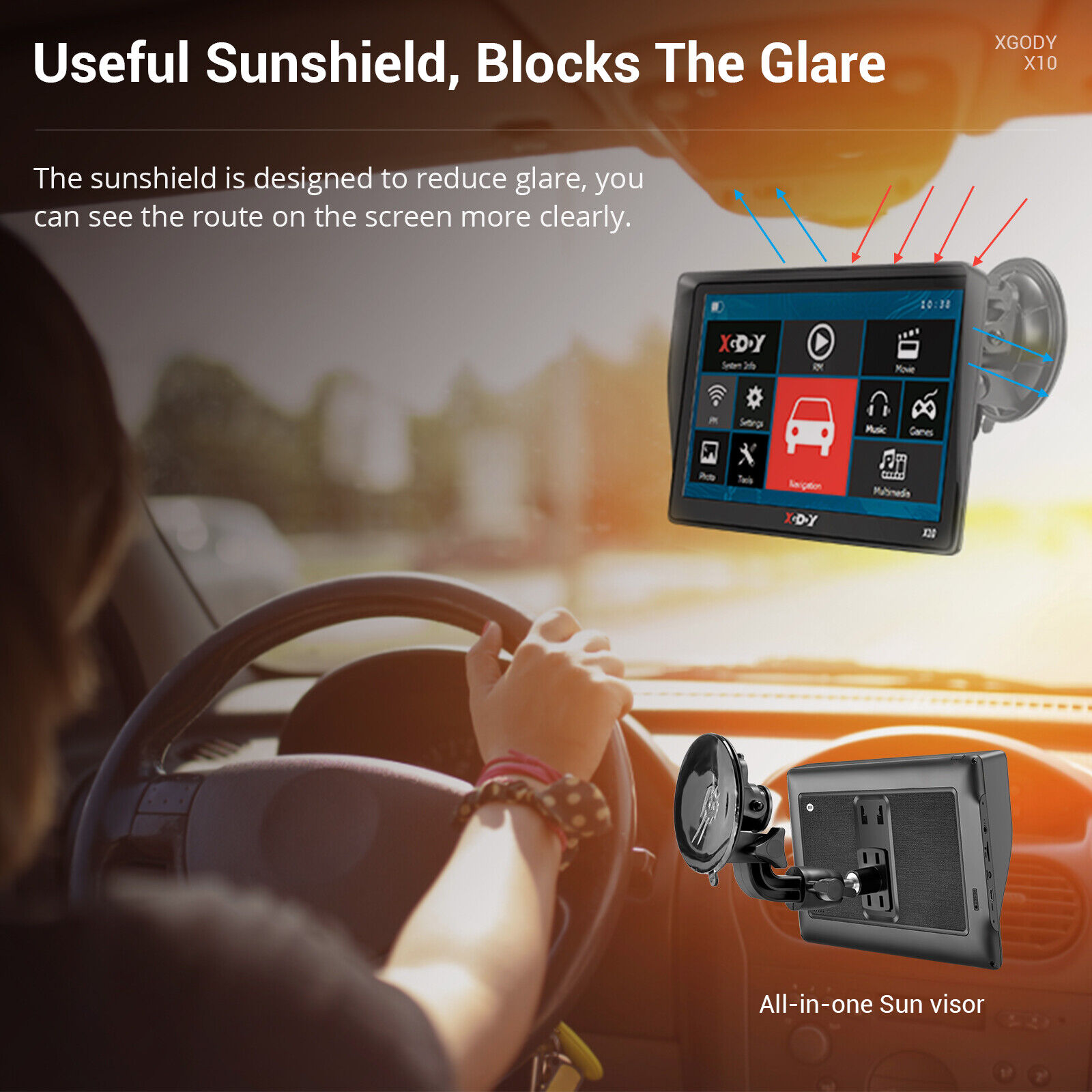
Description【9 inch Sat Nav with Sunshade】
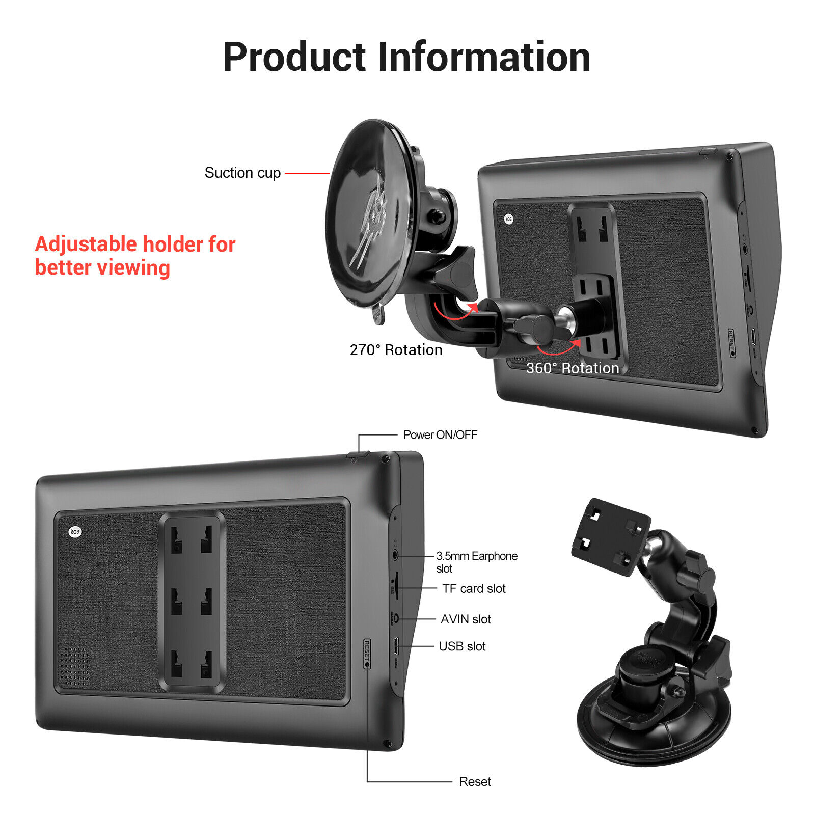
: Navigation with a large display helps you find everything super well, especially suitable for professional truck drivers and older people. The suction cup with the base holds the navigation very firmly despite the size. Thanks to the free self-adhesive 3M holder, the navigation system can also be attached to the dashboard.
【Professional truck mode】
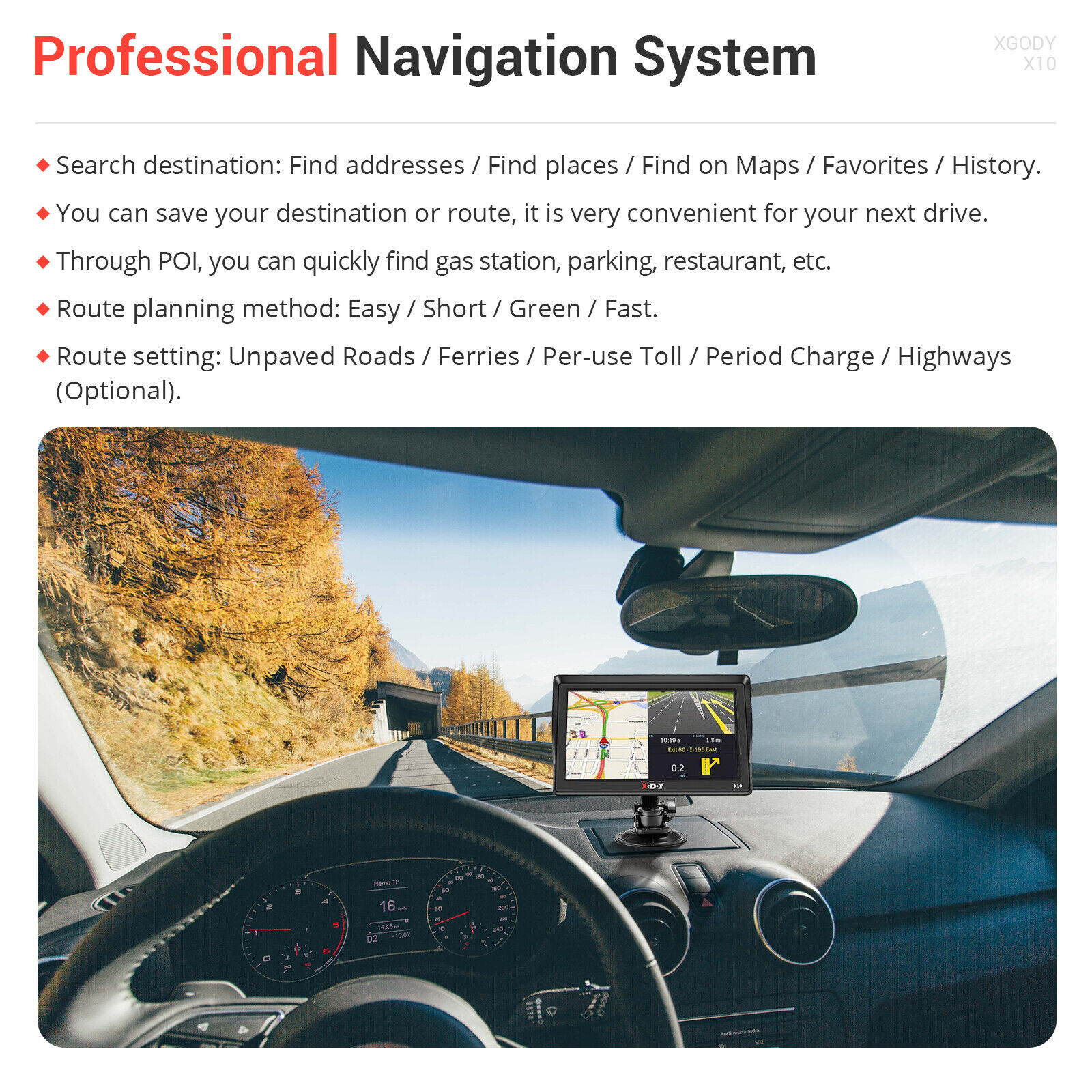
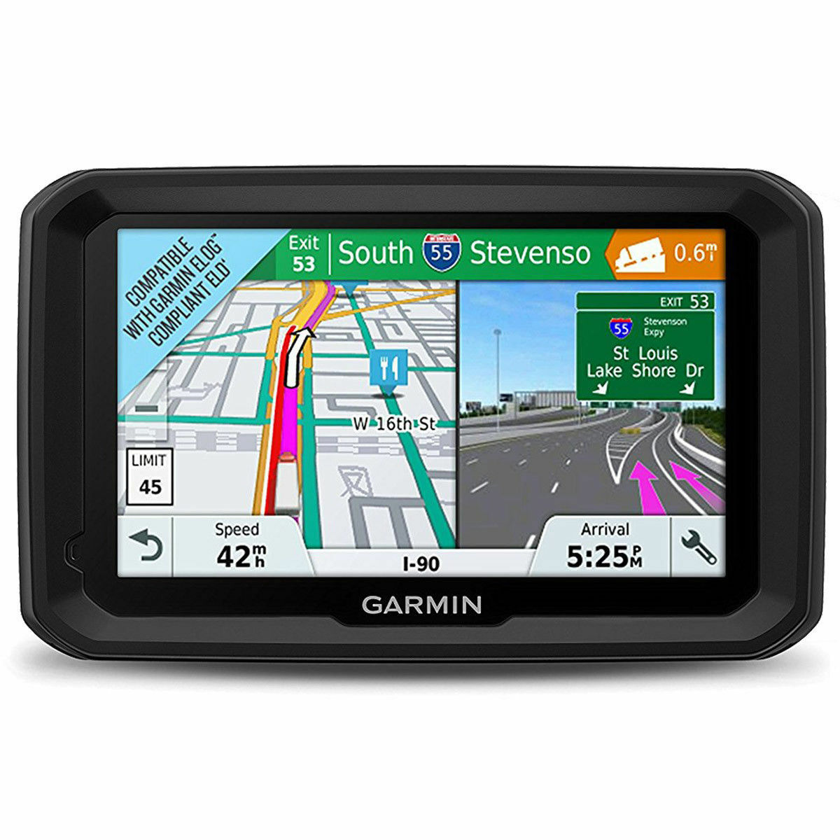
9 inch truck GPS navigator Professional truck customization, customizing better routes for you, avoiding roads such as width, height and weight restrictions. Acoustic warnings and route planning are provided to inform estimated arrival times. Provides you with progressive voice navigation, which makes your driving safer. Other security alert types: average speed camera, red light camera, railway crossing, high accident area, city entry point, dangerous area, etc.
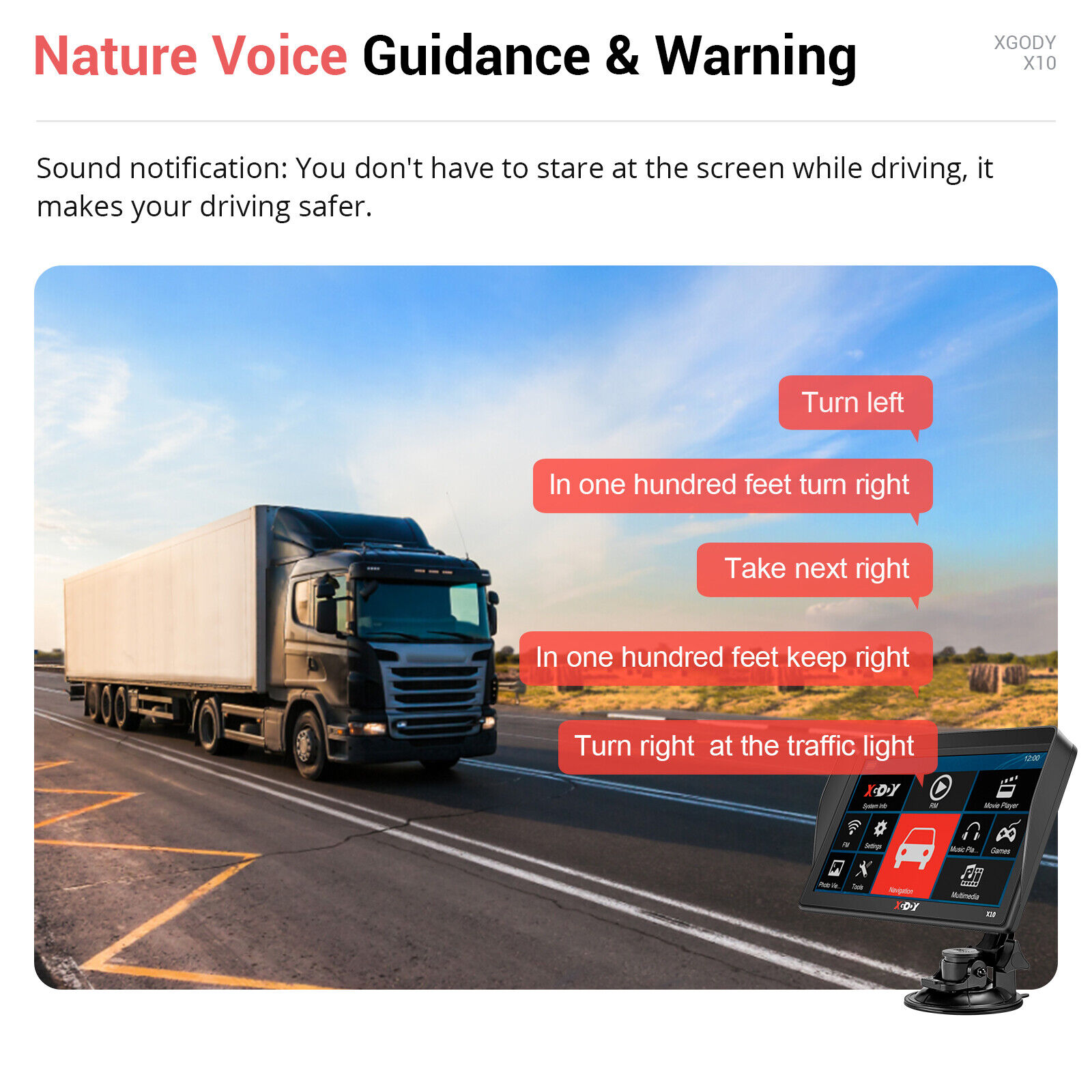
【REAL VOICE NAVIGATION】
: Choose from a selection of voices that will provide you turn by turn voice navigation. Real man or woman voice broadcast you don’t have to look on the GPS screen all the time. It makes your driving safer, reduce fatigue driving, away from the ticket. Other Security Alert Types: Average Speed Camera, Red Light Camera ,Railway Crossing, High Accident Zone,City Entry Piont, Dangerous Area etc.
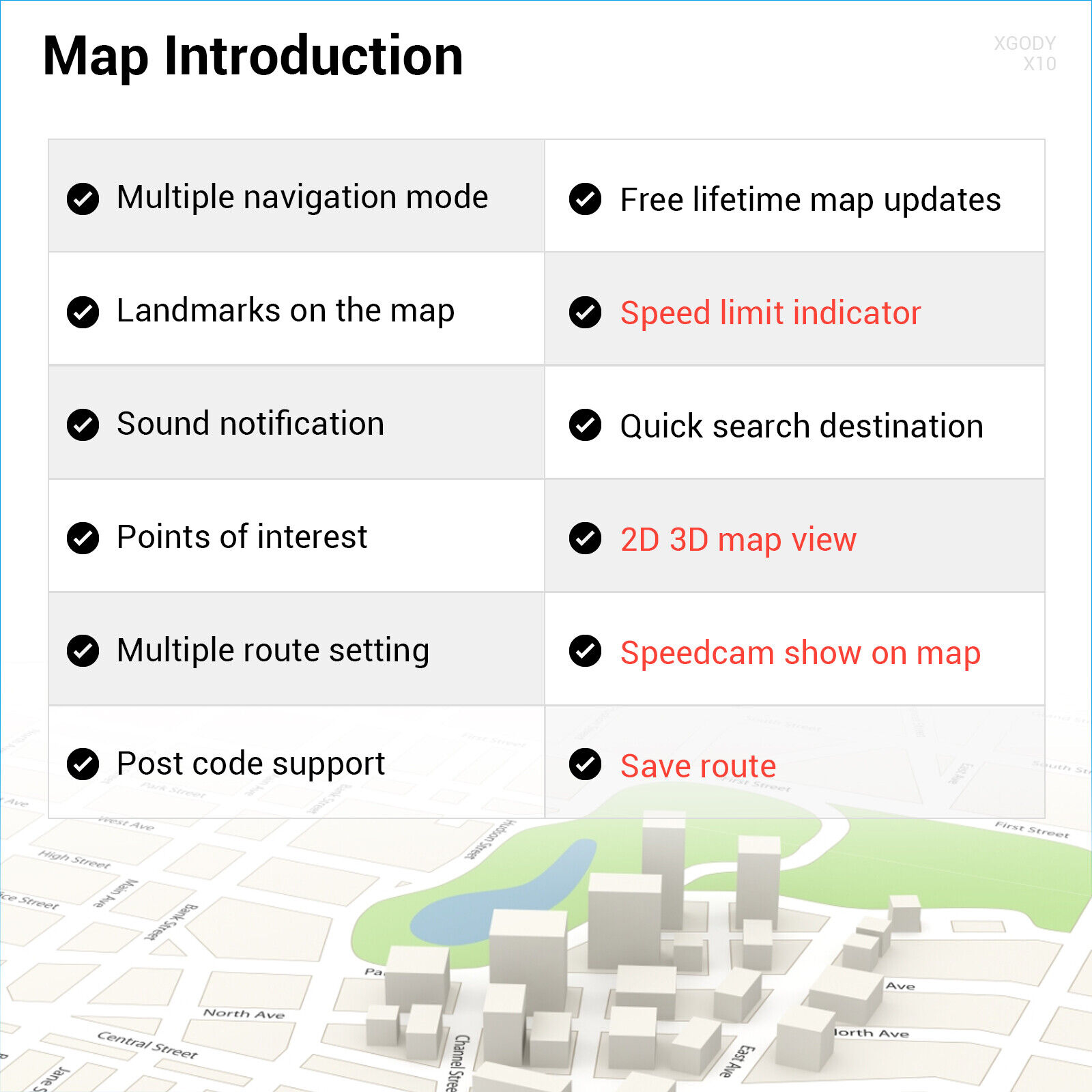
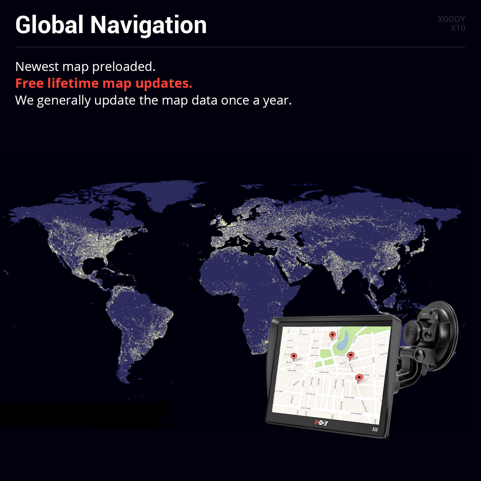
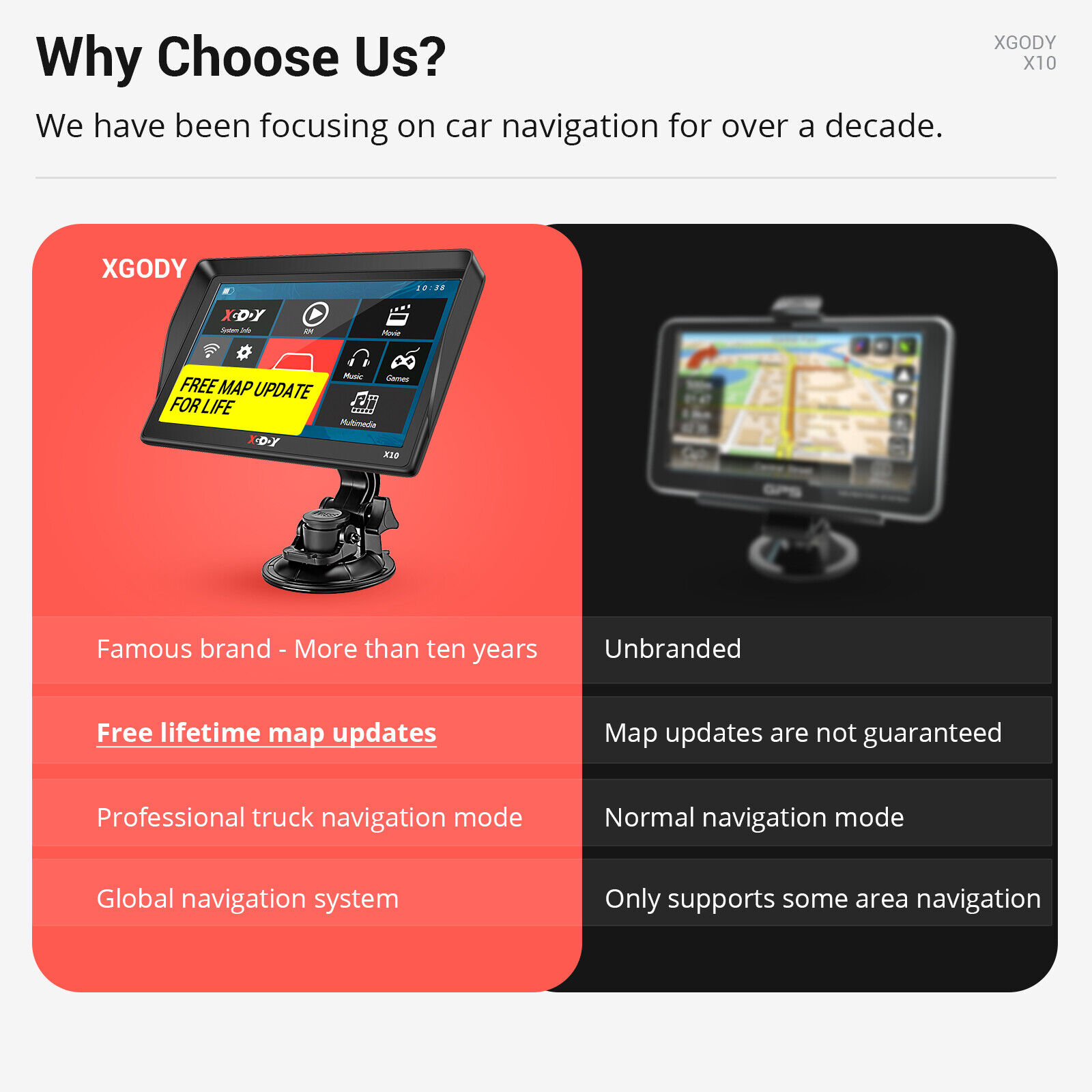
【Free lifetime map updates】
: 2D / 3D map display in kilometers / meters, miles / feet / yards. We have pre-installed the latest map materials for the United States, Canada and Mexico for 2022 in navigation equipment. Updates are lifetime. You can Contact us to get new Map.
【Portable Easy to Use】
Dedicated GPS navigators display current street, current speed, speed limit and arrival time. 1 year warranty and 30 days money back guaranteed, you are guaranteed with a great quality of after-sales service.
Detail Image
Specification
Brand :
XGODY
Model :
XGODY X10
CPU :
Cortex-A9-MSB2531
GPS Module :
High Sensitive GPS Receiver
Memory Size :
256MB RAM – 8GB Internal Memory
Display Screen :
9” TFT LCD Display, Resolution 800*480
USB :
USB Client 2.0, MINI USB 6PIN socket
SD Slot :
Micro SD socket, MAX Micro SD card up to 32GB
Audio :
A: Built-in 1W/ 8 ohm
B: Stereo track: 0.25W/CHANEL, single track 8 ohm/2W
FM :
FM transmitter (76.0MHz -109MHz)
Transfer the GPS sound to Car,not FM Radio
Bluetooth&AV-IN :
No
Battery :
Built–in Li-ion Rechargeable 2100mAh
Working Time :
About 1 hour
Charging Time :
2-3 hours,Sometimes can only charge to 99%
Charging Socket :
12V DC socket
Car Charger :
12-24V/2A
Temperature Range :
Operation temperature: -10 °C to 60 °C
Saving temperature:0 °C to 61 °C
Size :
222mm x 133mm x 32mm
Navigation Storage :
Built-in memory or Micso SD card
Video Playing Software :
Support ASF,AVI,MP4,WMV,MPG,DAT,MPEG,4GP
Audio Playing Software :
Support WMA9, MP4 and WAV format
Photo Format :
Support JPG, GIF, BMP ,PNG format
E-book :
Support TXT format
System Languages :
English, Finnish, France, Germany, Hungarian,Italian, Polish, Portugal, Romana, Russian
Slovencina, Spainish
Europe map:
Albania, Ireland, Estonia, Andorra, Austria, Belarus, Bulgaria, Belgium, Bosnia, and Herzegovina, Poland, Denmark, Germany, Russia, France, Vatican, Finland, Holland, Montenegro, Czech, Kosovo, Croatia, Latvia, Lithuania, Liechtenstein, Luxemburg, Romania, Malta, Macedonia, Moldova, Monaco, Norway, Portugal, Sweden, Switzerland, Serbia, Cyprus, San Marino, Slovakia, Slovenia, Turkey, Ukraine, Spain, Greece, Hungary, Italy, UK, Gibraltar, Iceland
America map:
USA, Mexico, Canada, Colombia, Brazil, Argentina, Chile, Peru, Uruguay, Venezuela, French Guiana,
Ecuador, Bolivia, Paraguay, Costa Rica, Bahamas, Panama, Dominica, Guadeloupe, Cayman Islands,
Martinique, Nicaragua, Guatemala
Australia, New Zealand
Africa map:
Algeria, Angola, Benin, Botswana, Burkina Faso, Burundi, Cameroon, Cape Verde, Central African Republic, Chad, Comoros, Coate d'Ivoire, Djibouti, Egypt, Equatorial Guinea, Eritrea, Ethiopia, French Guiana, Gabon, Ghana, Guinea, Guinea-Bissau, Kenya, Lesotho, Liberia, Libya, Madagascar, Malawi, Mali, Mauritania, Mauritius, Mayotte, Morocco, Mozambique, Namibia, Niger, Nigeria, Republic of Congo, Reunion, Rwanda, Senegal, Seychelles, Sierra Leone, Somalia, South Africa, South Sudan, Sudan, Swaziland, Tanzania, Gambia, Togo, Tunisia, Uganda, Zambia,
Zimbabwe
Asia map:
Hongkong, Taiwan, Macao, Thailand, Philippines, Indonesia, Singapore, Malaysia, Brunei,
Vietnam, India, Kazakhstan, Sri Lanka, Georgia, Azerbaijan
Middle east map:
Oman, Qatar, Kuwait, Israel, Saudi Arabia, United Arab Emirates, Jordan, Bahrain,
Lebanon, Iraq, Yemen Republic
Note: Due to the limited memory of GPS, we will pre-download the maps according to your area, not all of the above maps. If you need more maps, please send us an email and we will send you free map data.
